
The Mapping Monopoly's Blind Spot

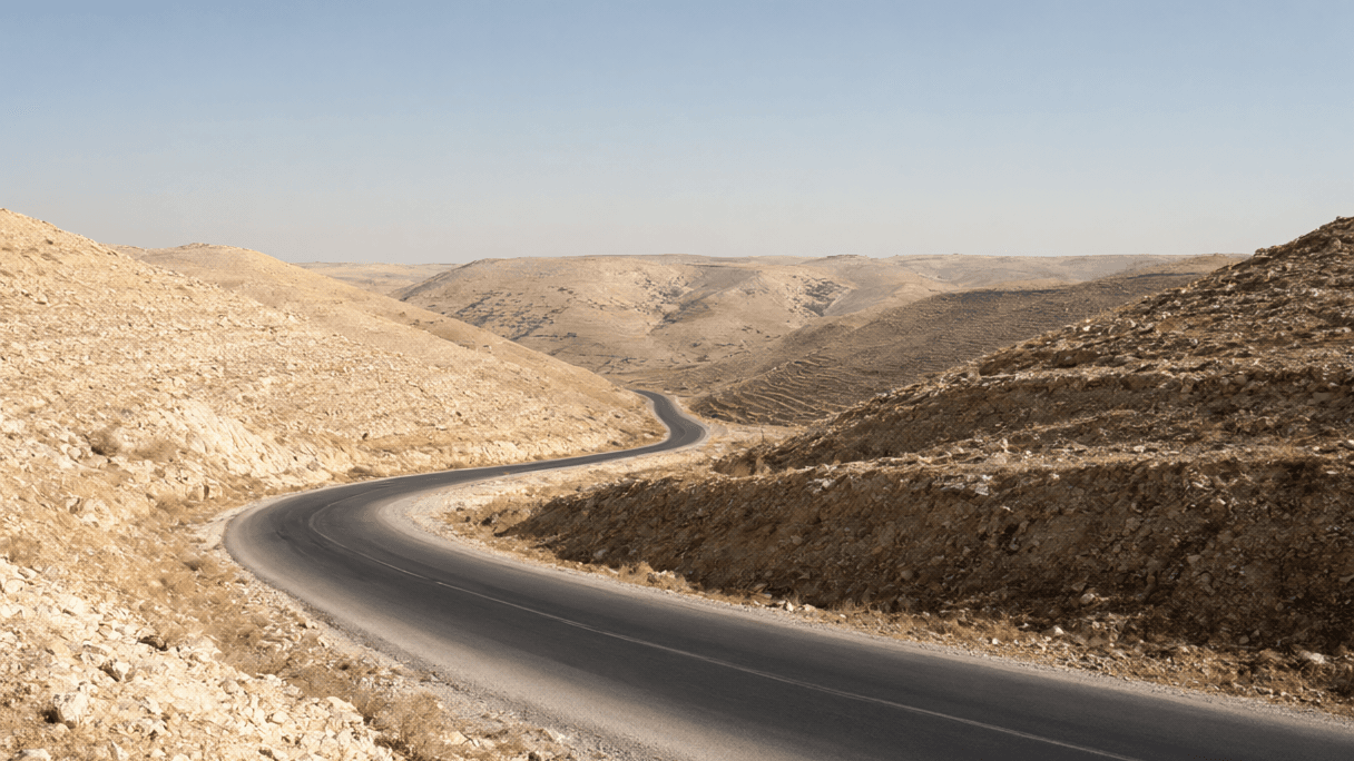
AI-generated image · US National Wire
When Big Tech ignores the geopolitical realities of the West Bank, 350,000 people are forced to rely on a Telegram group for their basic safety.
In the world of Big Tech, efficiency is measured by algorithms. But for Palestinians in the occupied West Bank, those same algorithms are a liability.
As Wired first reported, popular navigation apps like Google Maps fail to account for the fragmented reality of the West Bank. These platforms do not mark the 942 gates, checkpoints, and barriers that divide the territory. Instead, they default to routes their algorithms identify as the fastest—routes that frequently lead drivers through Israeli settlements and areas under Israeli control.
For a Palestinian driver, following these corporate directions is not merely a matter of inefficiency; it is a matter of survival. Wired reports that drivers who follow these maps risk being shot, fined, or arrested. This is compounded by the fact that Israel has spent decades barring or restricting Palestinian vehicles from many primary arteries while allowing Israeli vehicles to pass without hindrance.
This information void has created a dangerous vacuum that Big Tech has seemingly no interest in filling. The result is a grassroots survival mechanism. In 2019, Anas Hattab, a 30-year-old digital designer and delivery driver, launched a Telegram group called “Road Conditions.” Hattab started the group to navigate his own nightly delivery routes through Nablus and Jenin to his home in Tulkarm, dodging military raids and unpredictable checkpoints.
What began as a personal tool has evolved into an essential utility. Wired reports that nearly 350,000 Palestinians now rely on Hattab’s Telegram group to navigate the West Bank. The scale of this reliance is staggering: local radio stations now base their hourly road segments on Hattab's dispatches, and a new local app and a routing system used by West Bank companies pull data directly from his feed.
Maintaining this utility requires a level of ground-truth verification that Big Tech refuses to implement. Hattab and a team of more than a dozen volunteer moderators verify crowdsourced reports via photos, videos, and direct confirmation from people on the ground. To ensure accuracy, Hattab spent six months of his own time driving without a destination, mapping every bypass road and checkpoint by name.
The stakes have only risen since October 7, 2023. A September investigation by Wired, in partnership with the Palestine Reporting Lab, Lighthouse Reports, and Arab Reporters for Investigative Journalism (ARIJ), found that checkpoint delays have increased by more than 50 percent.
***
**Opinion:** The existence of "Road Conditions" is a damning indictment of the mapping industry. When 350,000 people must turn to a Telegram group to avoid being shot or arrested, it is no longer a technical glitch—it is a policy choice. By ignoring the 942 barriers that define Palestinian movement, Big Tech is choosing the friction-less path of corporate neutrality over the messy reality of human rights. They have effectively outsourced the safety of an entire population to a 30-year-old with a Telegram channel because accounting for the occupation would require an accountability that these giants are unwilling to shoulder.